This week, we are going to take a look at the ways that we are trying to reconstruct the landscape of the Nile’s First Cataract region, and why this is such a difficult task. Perhaps the most important feature of this reconstruction is understanding what was going on with the Nile itself! During different periods, increased monsoon rains in the Ethiopian highlands or other climactic factors led to consistently and dramatically higher or lower Nile floods. Moreover, from roughly 11000 BCE to 3000 BCE, the Sahara itself was much greener and milder than we are accustomed to today. In addition to these climactic factors, human-made changes to the environment have had substantial effects as well. Even in the distant past, people were capable of remarkable feats of geoengineering—witness the artificial lakes/harbors constructed near Luxor during the reign of Amenhotep III.
In our study region, the building of the Aswan High Dam from 1960-1976 has had dramatic consequences. As the largest embankment dam in the world, the Aswan High Dam’s construction radically altered the surrounding landscape. It has had profound effects, some quite positive, others extremely deleterious. Over 100,000 people were displaced as a result of its construction, but the dam also generates considerable hydroelectric power and allows for far better control over Nile’s water level—enabling higher crop yields than in the past. On the other hand, the absence of nutrient rich sediments have contributed both to coastline erosion and a need to increase the production and importation of fertilizer. These very real, human impacts must not be neglected, especially since archaeologists tend to focus on how the rising waters of the dam’s reservoir submerged thousands of archaeological sites. In this regard, the dam’s construction galvanized scholars and heritage experts worldwide to work to document sites in southern Egypt and northern Sudan before they were inundated by rising floodwaters, making this one of the most archaeologically well known regions in the world even 60 years later. It is also worth highlighting that choices of what to preserve/investigate and what to ignore were often quite political in nature—and interpreting the role of the UNESCO salvage campaigns in the burgeoning field of cultural heritage continues to be an important subject of academic research.
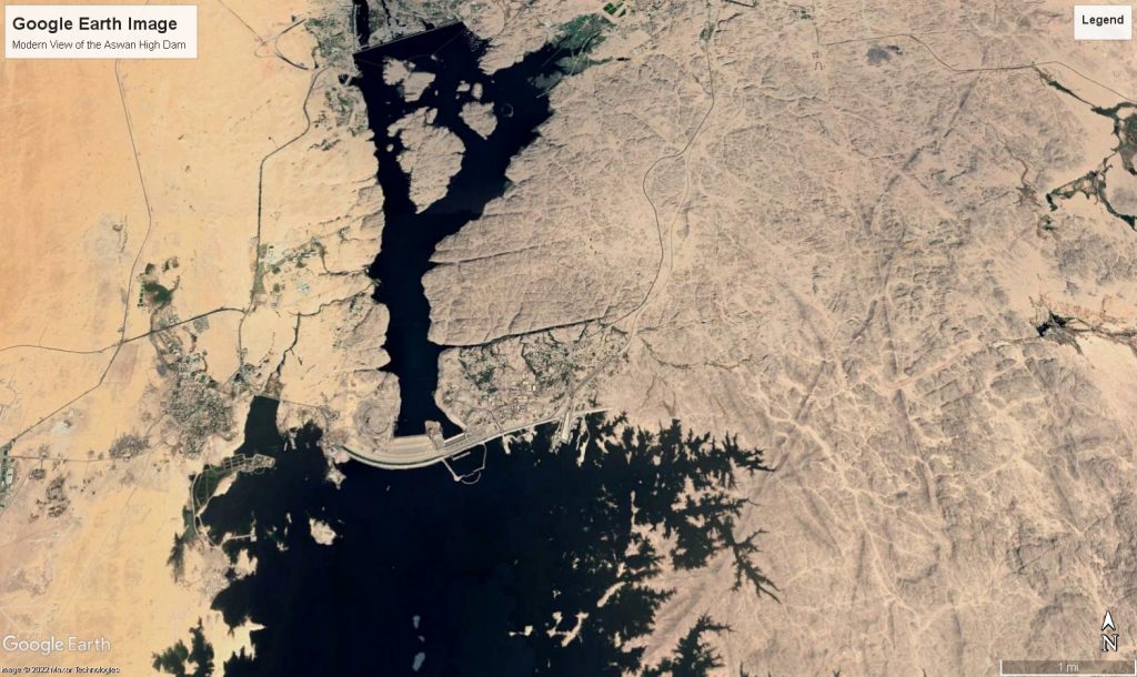
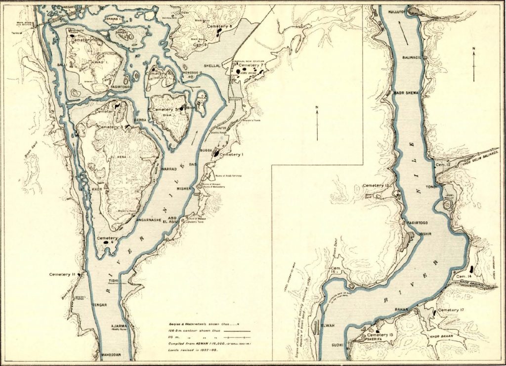
From the vantage point of the Borderscape Project, this means that the First Cataract landscape has changed enormously. Compare this Google Earth image with some of the maps produced by Reisner’s team during the Archaeological Survey of Nubia from before its construction!
There are a variety of different methods that we can use to better understand what this landscape would have looked like in the 4th and 3rd Millennia BCE. Some of this evidence is archaeological—scholars have estimated maximum Nile heights based on the presence or absence of remains at archaeological sites like Elephantine (Seidlmayer 2001). Furthermore, excavations at Aswan/Syene have allowed scholars to estimate the edge of floodplain during the Old Kingdom (von Pilgrim et al. 2011). Test drillings can help to estimate the changing course of the Nile, and the areas that were part of the ancient floodplain in particular periods.
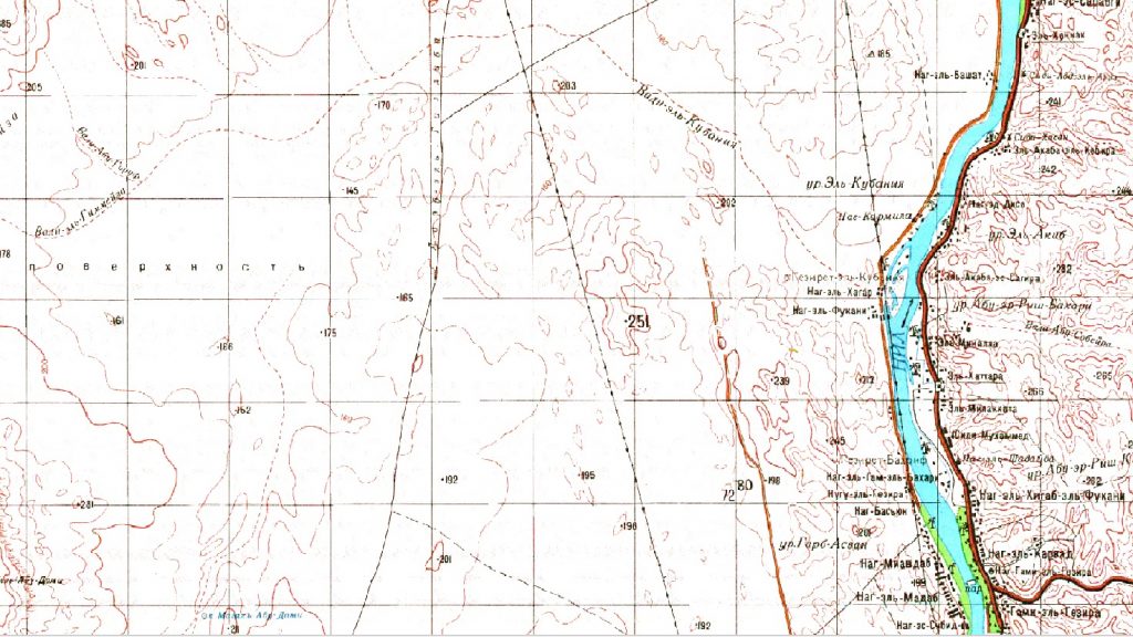
Additionally, we can turn to historical maps, current satellite images, and historical photography to supplement this data. For example, the dotted lines on these Soviet maps give some idea of desert routes or wells.
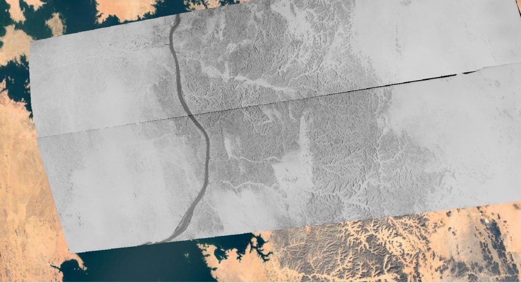
Aerial photos and satellite imagery can show areas affected by the Aswan High Dam prior to flooding. These CORONA spy satellite photos help to show the extent to which things have changed!
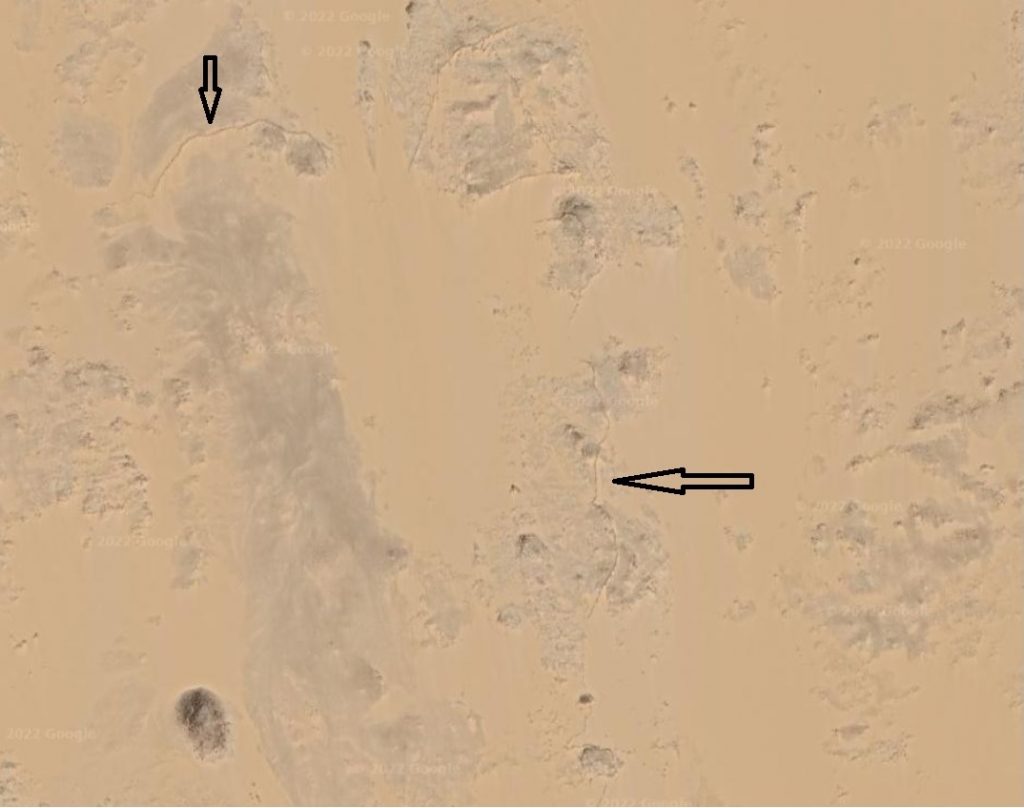
Finally, current satellite imagery is quite useful for understanding parts of the landscape that have not changed as radically. The Sahara might be drier and sandier nowadays, but there isn’t a reason to suspect that human activity has changed the location or heights of many of these desert cliffs or pathways. Sometimes, one can even identify archaeological features like game drives—low walls that most archaeologists think were used to herd and trap gazelles and other animals (Storemyr 2011). In other places, it is possible to see clear places where there was an ancient island or pathways/roads through fields (the technical term for these pathways are “hollow ways”).
Ultimately, reconstructing the ancient landscape is a process that involves balancing a variety of different kinds of data. Next week, we will give a quick preview of some of the different kinds of spatial analysis we hope to perform, and what kinds of questions they can answer about the ancient landscape!
References
Seidlmayer, S. Historische und moderne Nilstände. Berlin: Achet Verlag, 2001.
Storemyr, P. “The ancient stone-built game traps at Gharb Aswan and Beyond, Lower Nubia and Upper Egypt.” Sahara 22 (2011): 15-28.
Von Pilgrim, C., W. Müller, and L. Werlen. “The Town of Syene: Report on the 8th Season in Aswan.” MDAIK 67 (2011): 125-161.
Well done, thanks